![]() |
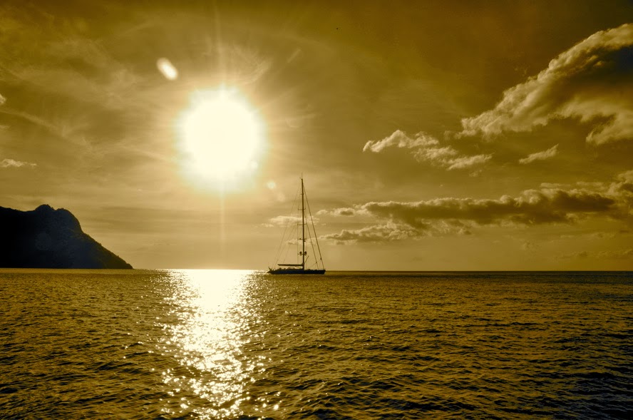
| Taiohae Bay, Nuku Hiva |
Taiohae Harbor, Ua Huka (Marquesas)
Our guests are long gone, back to their home in Papeete, ready for the next opportunity to meet us again. During the last 3 weeks, we’ve explored the northernmost of our Marquesas destination: Nuku Hiva.
![]() |
| Controller bay |
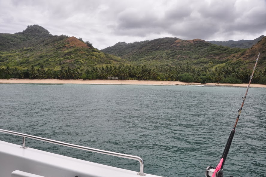
CONTROLLER BAY
On our return from Ua Pou, our guests still on board, we looked for a sheltered anchorage and opted for Controller Bay. Like a big paw clinging to the sea, the island extends its vertiginous claws into the foaming surf, providing 3 havens for the wary mariner. In the center, the deppest bay: HakaHoa; to its west, the smaller bay of HakaPaa; to its east, the most protected bay of Hooumi. We checked out HakaPaa, but 2 boats had already claimed the N and W anchorage spots and there just was not enough room for us. We retreated to the bay in the center: HakaHoa. With a bit of entering surf, we simply dropped a stern anchor to keep us from rolling.
![]() |
| Crabfest! |
I didn’t go to shore much, leaving the fresh bread duty to the boys who where more than happy to brave the few mosquitoes up-river and to the village of Taipivai. Yes, even here, we found fresh baguette every morning! The big fun, however, was to walk up the riverbed at low tide and go crab hunting. Land crab, that is (not coconut crab.) At least, we didn’t have to worry about ciguatera! In no time at all, the crew had gathered a full sac of crab and hollering and whooping, gaily dropped the catch into a pot of boiling seawater… and a feast was had by all!
When it came time to raise anchor and retrieve our stern line, however, it was not so much fun as the deep, soft mud, had swallowed our anchor and quite a bit of chain along with it. No way to retrieve it by dinghy. JP had to dive with the hookah and, with zero visibility and sharks reputed to lurk around, he finally managed to free the anchor, by feel and faith alone! We hated to leave this place. In the evening, manta rays came to bid our friends good bye as we returned them to the main harbor of Taiohae.
We later returned to Controller, dropping anchor at Hooumi. If the entire bay is quite muddy, we found clearer water along the eastern end of the bay and snorkeled for a while, looking for the manta rays, but not finding them. However, the “platier” on the eastern end of the bay is fun to explore at low tide: not too many shells, but a few nasty stone fish…
![]() |
| Taioa Bay - Daniel's Bay |
If there is a geological feature that can be found in Nuku Hiva (and in all the Marquesas) that is the volcanic point. There is hardly a bay that is not split by a volcanic divider. Taioa Bay is no exception. To the east of the point is Uauka Bay, exposed to the south swells, and to the west of the point is Hakatea Bay, itself split in two. Coasting under the vertiginous cliffs and taking a peek at the dripping waterfall, we dropped anchor in “Daniel’s Bay.” Who was there? None other than “Kaja’s Song,” our Canadian friends last seen in Las Perlas. Small world!
![]() |
| The beach at Daniel's Bay |
The sandy beach at Daniel’s Bay is splendid and the “nonos” were not there to bite us. What we have learned about “Nonos,” those no-see-em bugs that inflic painful bites, is that they only exist on beaches where there is white sand at high tide. They need white dry sand to breed. Rocky beach? No “Nonos.” During all our stay in the Marquesas, we were able to stay clear from them and not suffer a single bite!
![]() |
| Half way up to the waterfall: taking a peek |
![]() |
| New Years Eve with an all-Canadian guest list! |
![]() |
| Syncretism: the Virgin Mary in an ancient marae |
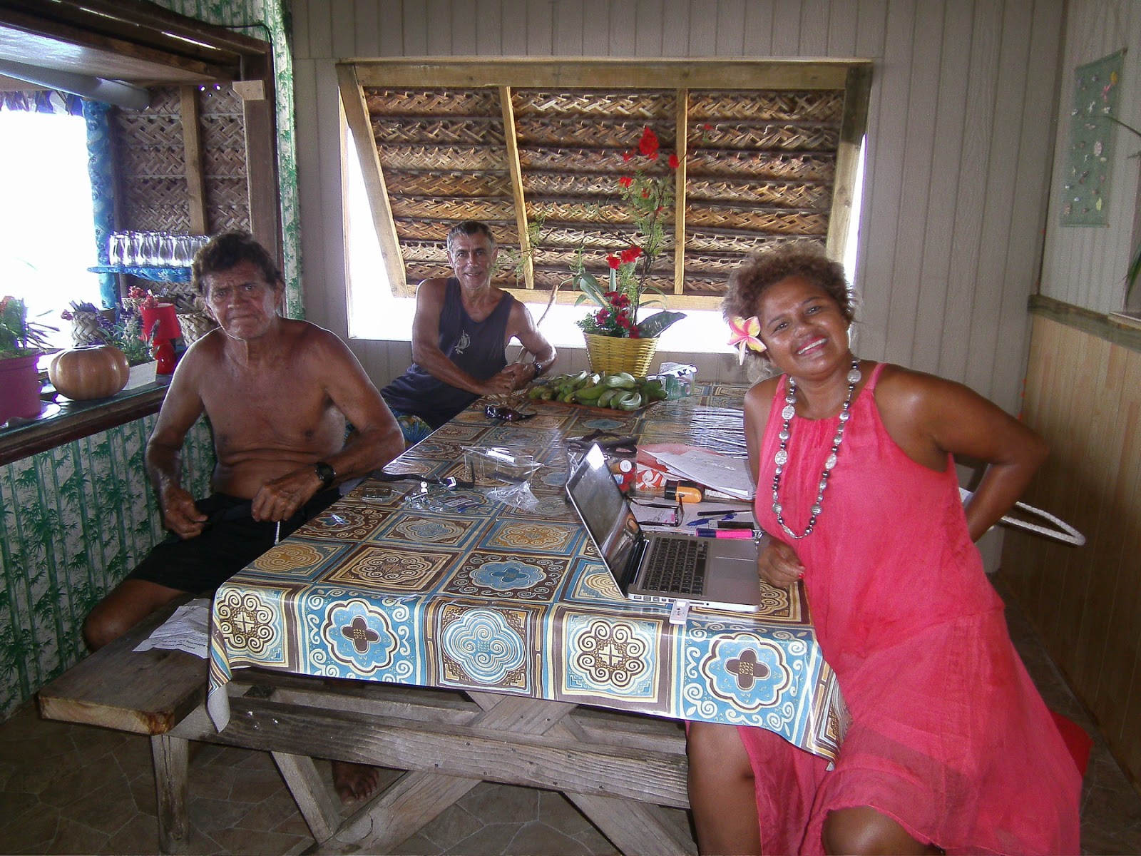
Time to go to shore and explore the village of Hakaui. Like many of the villages, you can only see one or two roofs from the beach. But the villages extend deep inside the valleys and there are many more souls than expected making a living from selling fruits (pamplemousse, mango, lime, banana) and copra.
The village of Hakaui is no different. Mathias and Monette, an elderly couple that keep an immaculate Garden of Eden, took our order for fruit and added fresh mint and… watercress! Indeed, watercress that they grow in the river. Triple-washed and sanitized with a teaspoon of hydrogen peroxide in order to kill whatever parasite would lurk in the watercress, the greens made for a well-appreciated lunch!
![]() |
| Happy New Year to all, and Happy Birthday Kaya |
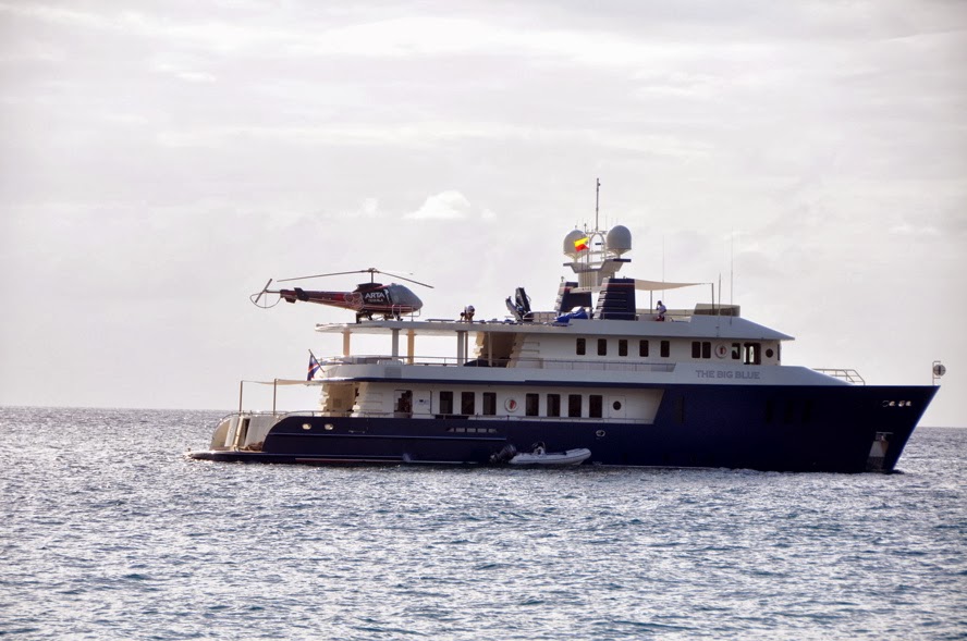
The big attraction in Hakaui is the waterfall. Supposed to be the second highest free-falling waterfall in the world, and dropping a straight 1,000 feet (or so…) it’s not to be missed. Joined by “Kaya’s Song” and “Gypsy Blues,” all Canadians, we traipsed the 2-hour trail through the wilderness. What a surprise to walk over a paved path, volcanic boulders well aligned and flattened, through ruins of ancient villages, all proof that populations have long lived here, not just in the valleys where they were exposed to any attack from hostile neighboring tribe, but also hidden in the mountain, strewn along the streams that flow from the high peaks above. Dwarfed between vertiginous cliffs, we finally reached the pool at the bottom of the waterfall and looked up: 300 meter above us, a free-falling silver ribbon that must be much more appreciated by helicopter! But we’ve only seen 2 helicopters fly above, both private, both belonging to mega-yachts (M/Ys “Deep Blue” and “Legacy.”)
![]() |
| Reversed angle from the waterfall: sheer cliffs |
On our return to the bay, Monette was waiting for us… with a “grand Kai Kai” to celebrate the New Year and Kaya’s birthday. Kaya received her lei, and we enjoyed a very special lunch. If you go by Monette’s stop and ask her for “Café vanille” and “beignets banane” for her banana beignets are addictive. We crawled away from her table and have been on a strict diet ever since!
![]() |
| Leaving Taioa |
![]() |
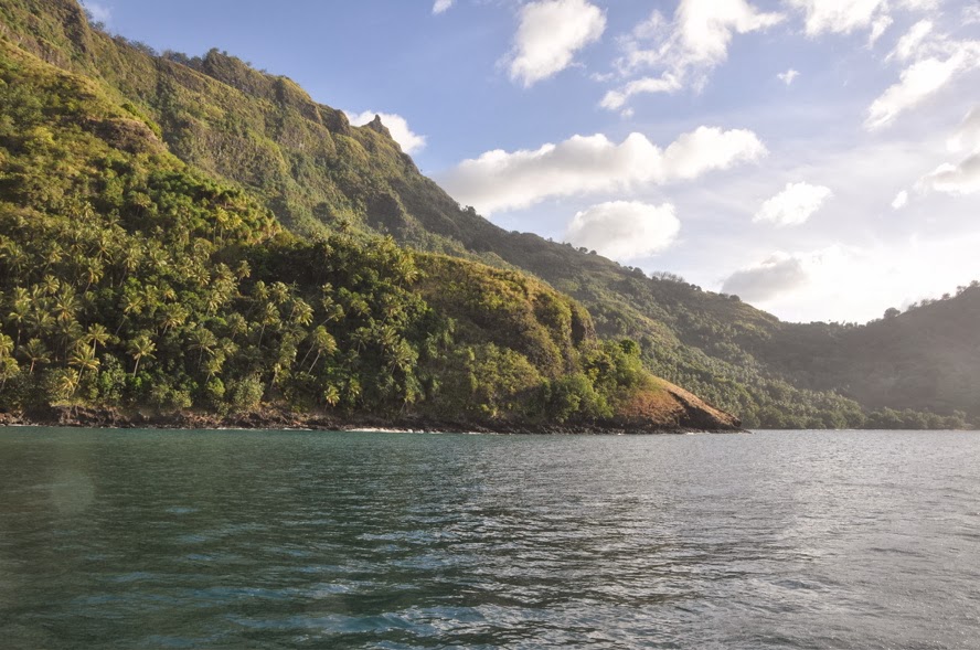
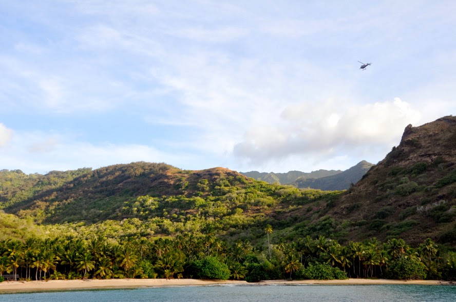
| Anaho |
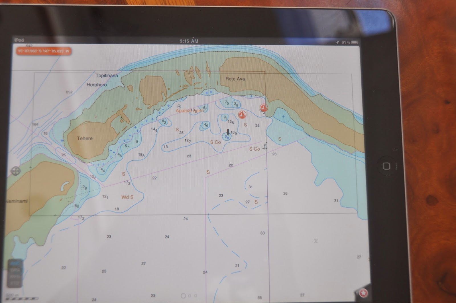
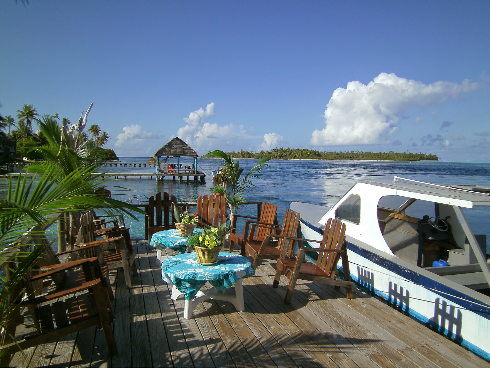
On the north shore of Nuku Hiva, the twin bays of Hatiheu and Anaho are some of the most picturesque in the entire archipelago. Once again, dramatic volcanic formations festoon the coast, the most amazing being in front of Hakapa. Unfortunately, Hakapa has not been surveyed and is not detailed on any of the charts, so we left the adventure to others, making for the snug harbor of Anaho. Tucked behind Point Matahotu, we spent a week of farniente while the bad weather kept all the other yachts away.
![]() |
| Beautiful Hakapa... what lies behind this landscape? |
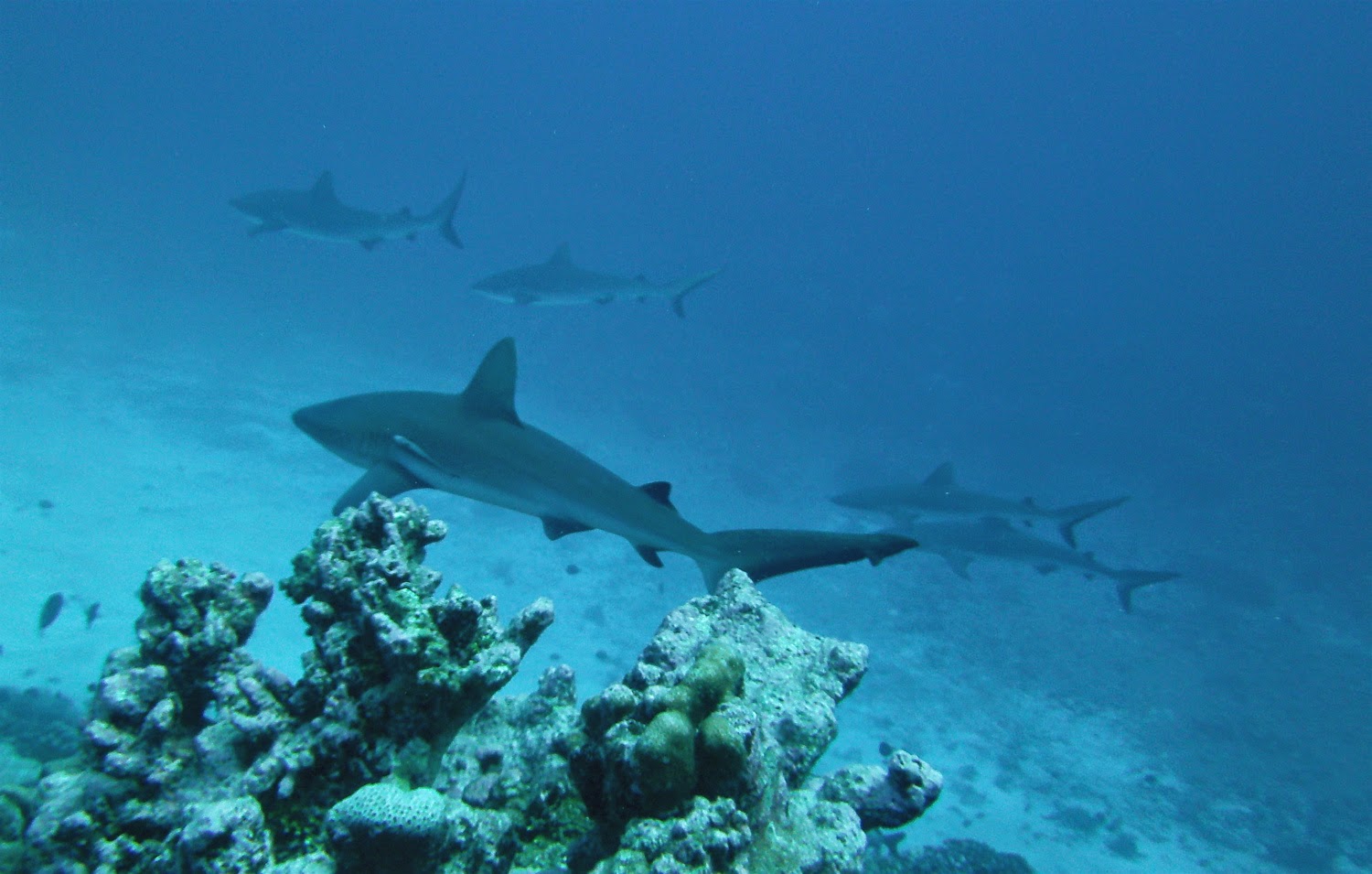
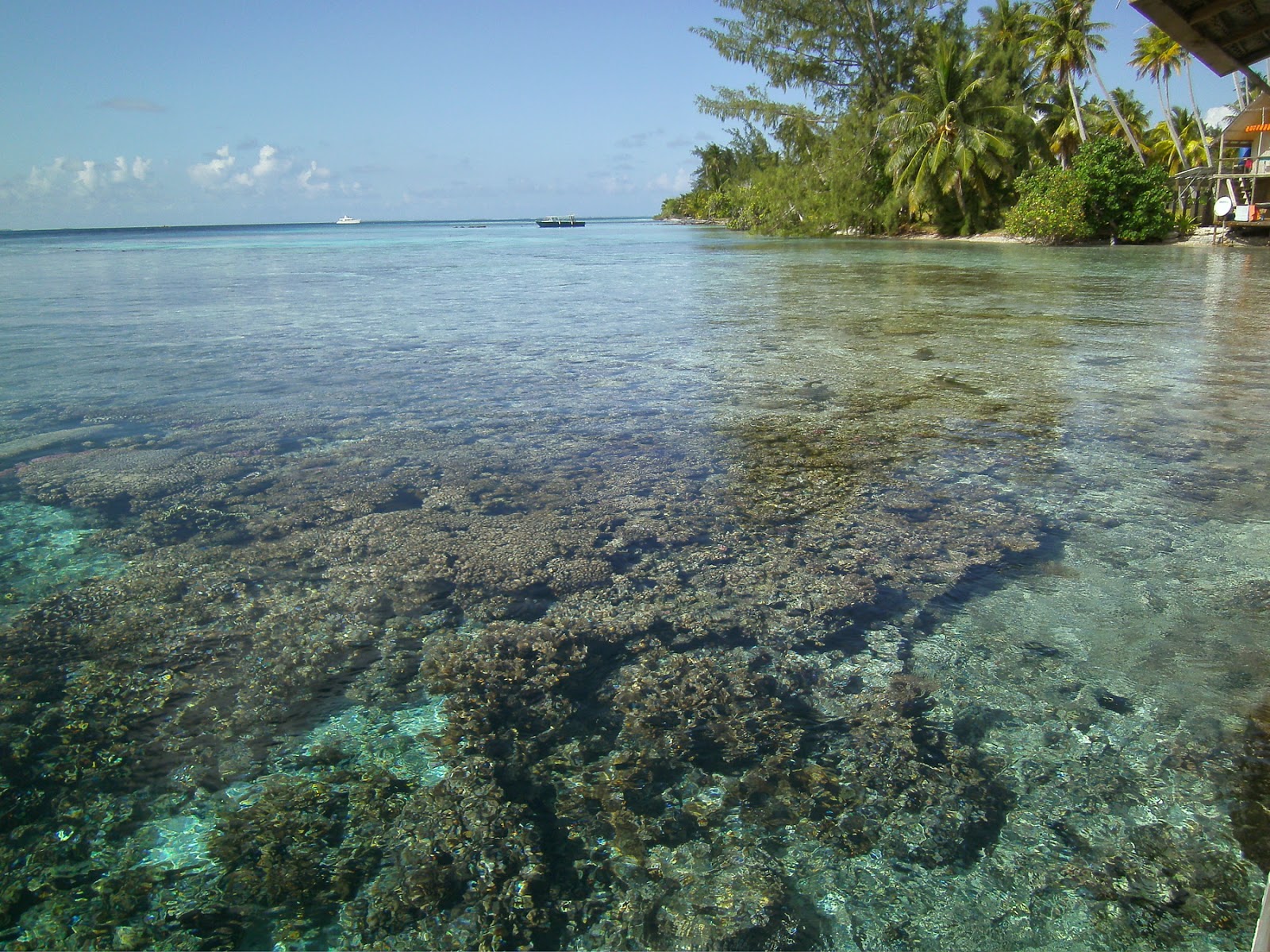
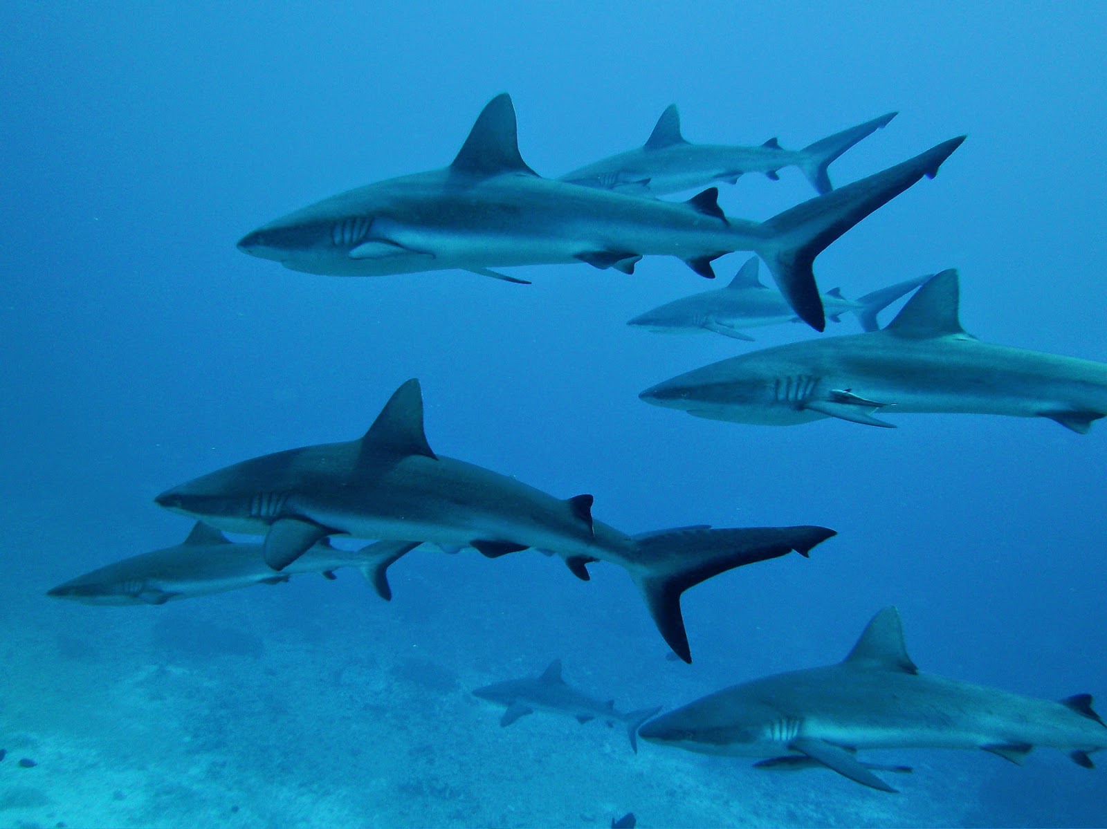
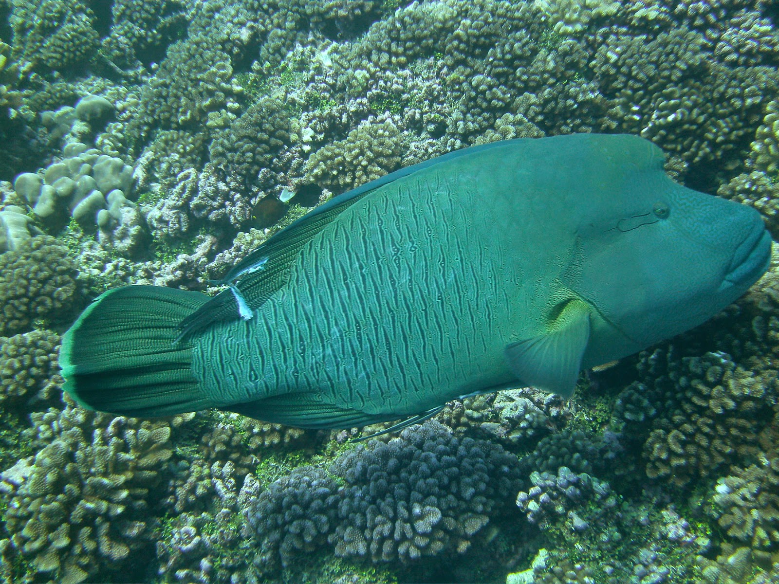
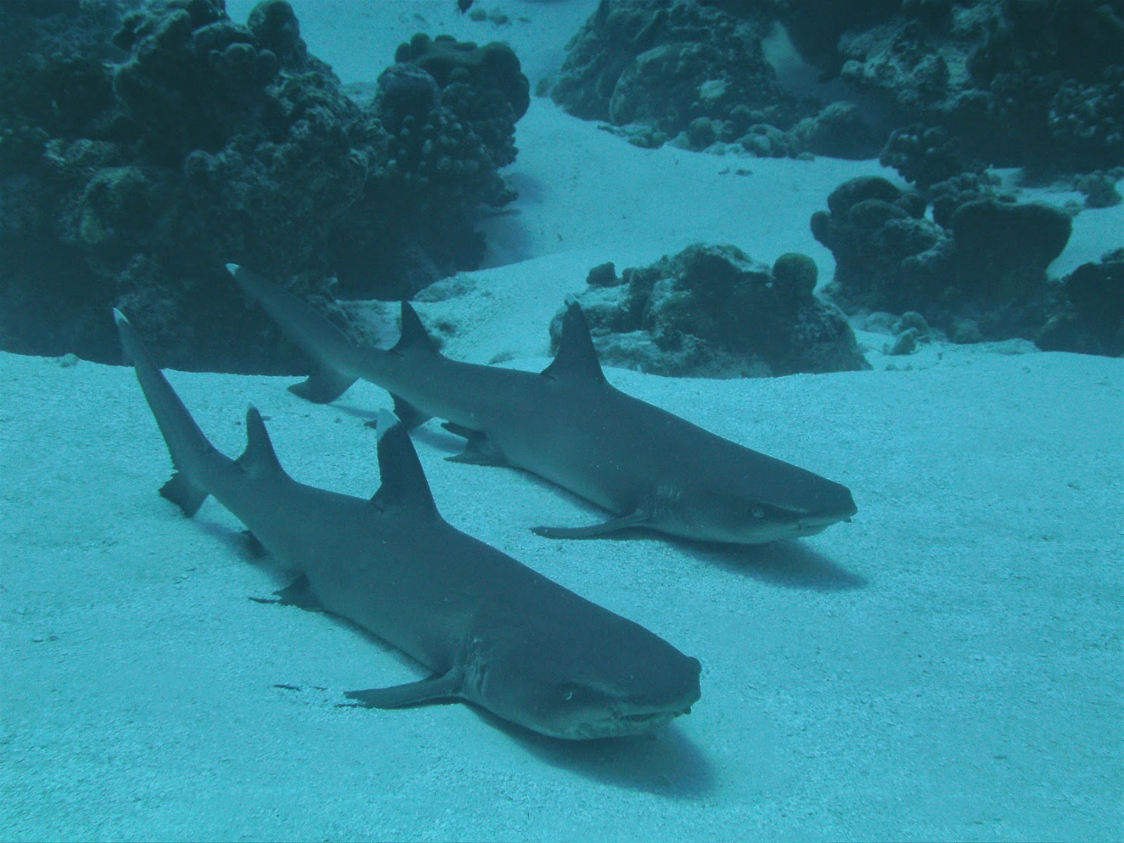
Anaho is notorious for its ciguatera poisoning. Most of the fish in the bay is infected; so is the shellfish, including the troca (pyramidal shell.) Only the local fishermen know which fish to eat and we certainly didn’t drop a line in the water. We fished in the freezer instead!
![]() |
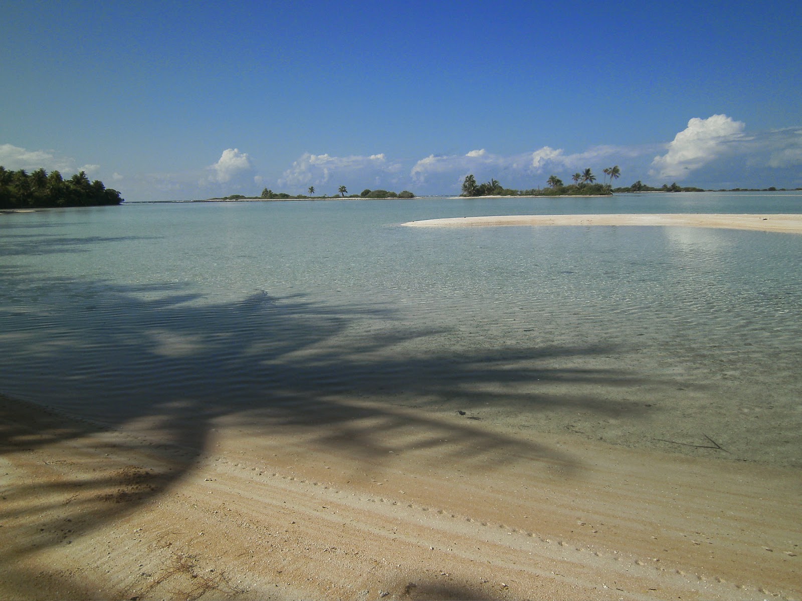
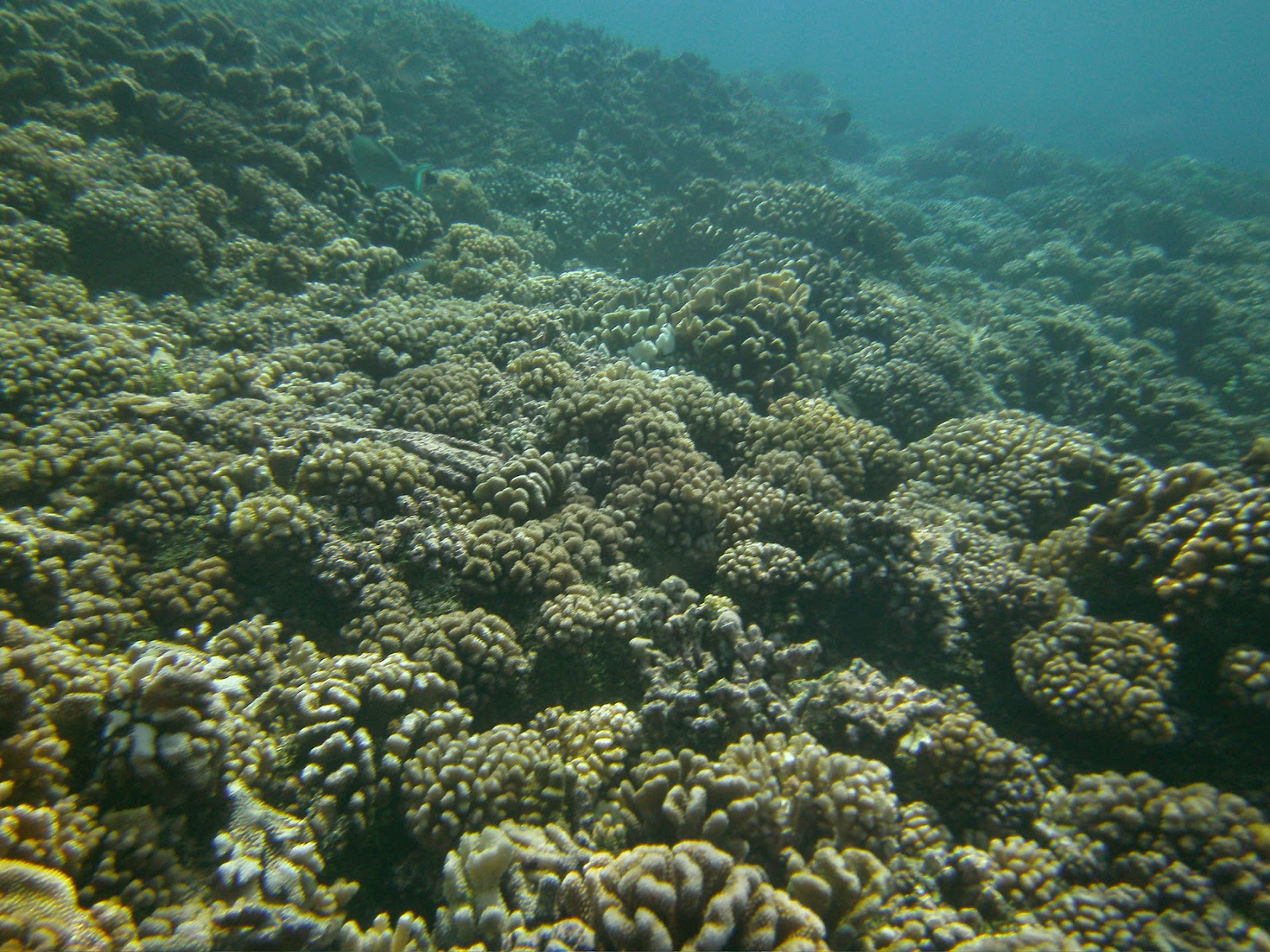
| Domino in Anaho. See how the shallow reef extends |
![]()
JP took several splendid hiking trips.
Over the ridge, to the East, he discovered the views over Hatiheu.
Along the beach and to the west, he walked to the farm where Momona provided us with fresh tomatoes and eggplants.
Further along the trail, he overlooked Haataivea to the north and Haatuatua to the west.
I was content to walk the reef at low tide and increase my seashell collection… more cowries!
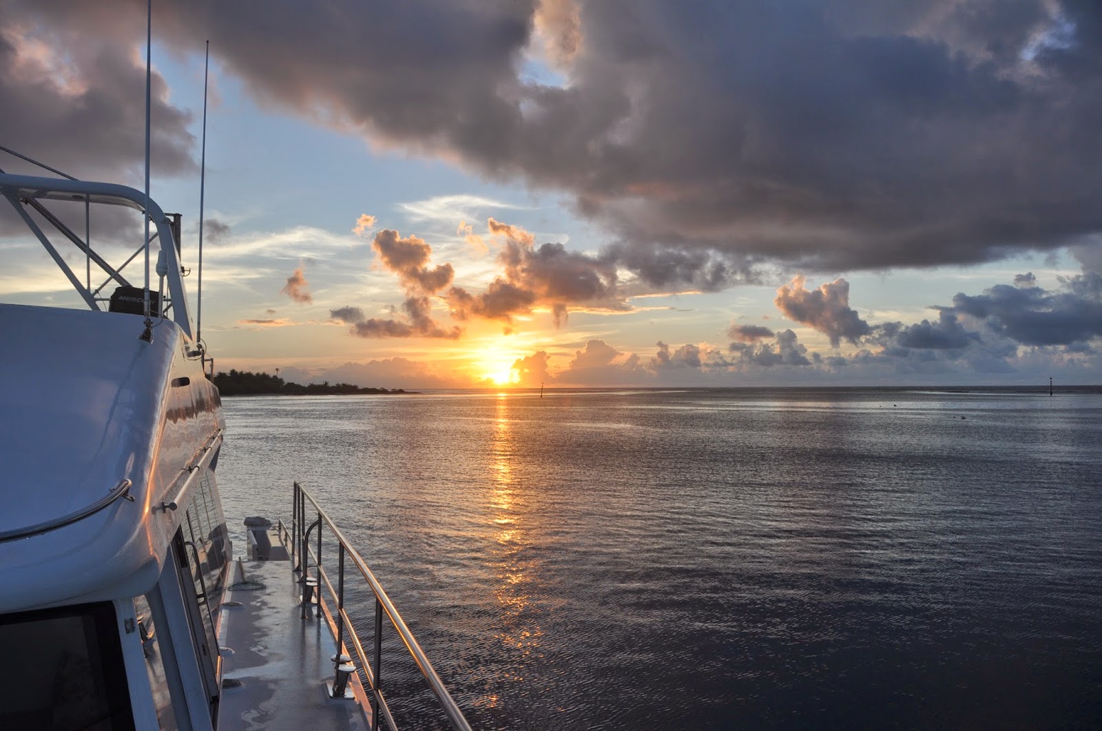
The Nortwest coast of Nuku Hiva is nicknamed the “Washing Machine,” and is notorious for its strong currents, wicked winds, and pyramidal waves. We waited patiently for a break in the weather and picked a superb, calm day to return to Taiohae. Reward? A 28-lb mahi-mahi that made quite a few of our friends happy!
![]() |
| Maneuvering DOMINO in Taiohae to take photos (Gilles Ruffert) |
Back in the main harbor of Nuku Hiva, we’re catching up. It’s great to have Internet again, given that we’ve been disconnected for the last 6 weeks. There is much to do, mostly to prepare our cruise to the Tuamotus and catch up on six weeks of blogs!
![]() |
| Koueva |
But it was not without taking a quick trip ashore and visiting the ancient site of Koueva, the site of the Matava for Nuku Hiva. Remember, if you want to witness a Matava, this is the gross schedule:
- December 2015: Hiva Oa
- December 2017: one of the minor islands
- December 2019: Nuku Hiva
![]() |
| Rain and rainbows in Taiohae |
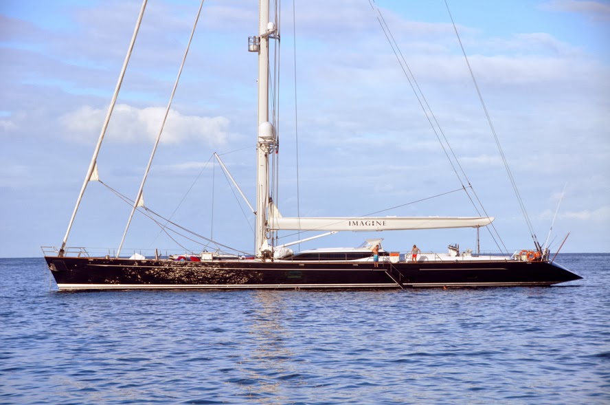
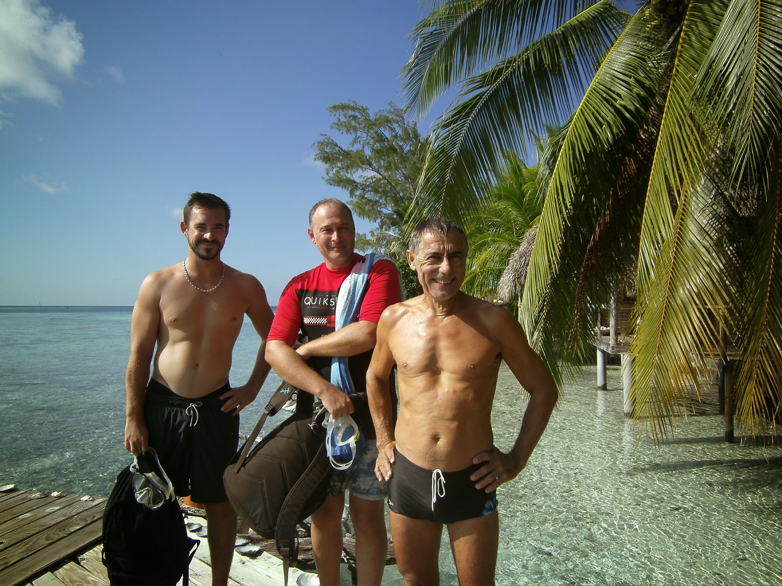
We meet many people during our travels and the majority of them want to visit DOMINO. We love to oblige and spread the “Powercat Gospel.” So when Gilles Ruffert, a freelance writer for—among others—MULTICOQUES Magazine asked us for an interview, we were pleased to talk to him. Gilles’ wife, Armelle, is a naval engineer in her own rights and was enthused by the design. Pix, sea trials, fun on board… and expect to see a DOMINO spread in some French magazine pretty soon!
![]() |
| DOMINO at 9 knots in the harbor... photo Gilles Ruffert |
Well, we’ve gotten our detaxed fuel authorization and we’ve fueled up at the TOTAL station in Nuku Hiva. Although we have enough fuel to take us throught eh Tuamotus and all the way to Papeete, we like to have an emergency reserve should a cyclone develop while we are in the Tuamotus. This way, we’ll have enough fuel to zoom back to the Marquesas where cyclones never happen.
It’s been raining a lot here and I’m having all the trouble in the world in drying bananas. Yep, we’re drying bananas, not expecting to find much in the way of fresh produce in the Tuamotus.
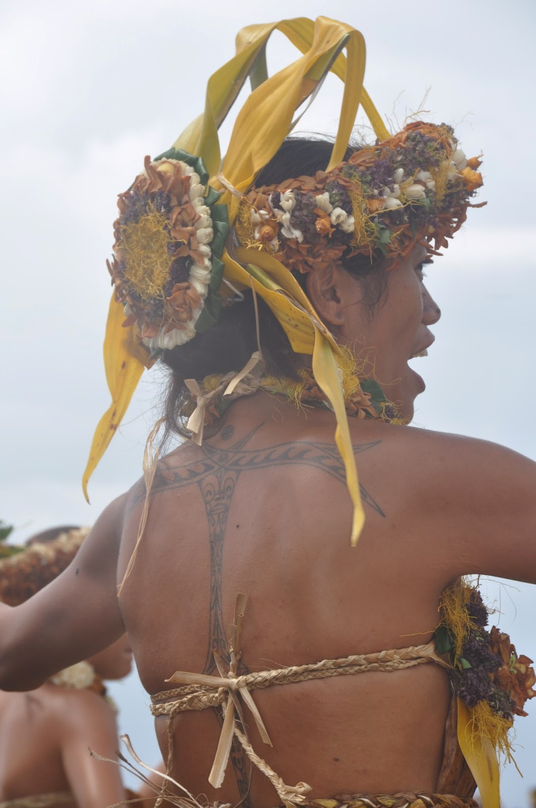
OH>>>> I FORGOT TO TELL YOU! I GOT A TATTOO!!!!
But that’s a story for another day…
Until then…
dominomarie


 Flamencos and herons, marine iguanas and cactus were at the rendez-vous, but it’s the finches that entertained us this day and reminded us of Darwin and his extraordinary power of observation. Only 5 weeks in the Galapagos gave him enough material to start a 20-year thought process culminating in his evolution theory.