| Image may be NSFW. Clik here to view.  |
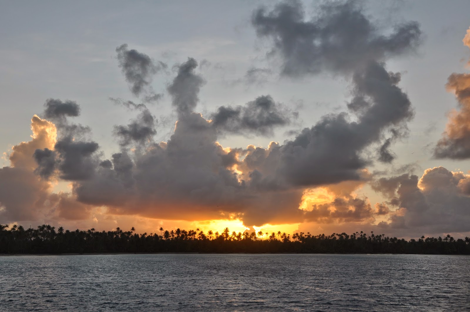
| Sunset at the East End |
APATAKI
March 9, 2014
Tide info:
High Slack Water - Aho High Water time (NOAA) + 3:10
Low Slack Water - Aho Low Water time (NOAA) + 3:30
Mean Low Water: 7m
Local VHF info: Apataki Carenage on VHF 16/72
Most cruisers come to Apataki to visit Apataki Carenage where most can haul-out for repairs and/or leave their boats on dry dock while they are away. Not us! We had contacted the Carenage to see if we could haul out, but their tractor is unable to handle anything over 20 tons... even, that is a stretch. DOMINO's 24 tons were just too much to haul. So, we had decided to bypass Apataki altogether. THE WEATHER, however, master and commander of our vagabond lifestyle, decided otherwise and forced us to stop by this lovely atoll.
| Image may be NSFW. Clik here to view.  |
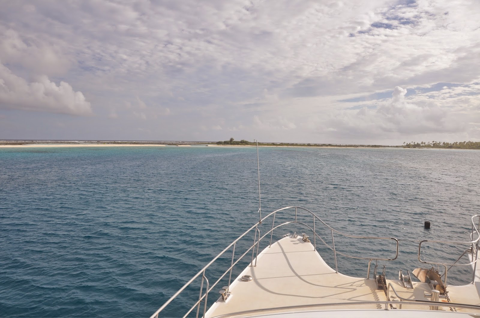
| Hoa at North end |
It was 0400 and we were at the end of our marvelously quiet 100-mile overnight eastward crossing from Rangiroa to Anse Amyot (Tohau Atoll), with a slight northerly breeze at 8 knots and a tiny SW swell on our back. I had just finished my watch, noticing increasing winds turning westerly, and handed the con to JP. Soon after, in my slumber, I felt a change in the boat's behavior: we were beating against the waves... had we turned around? Yes indeed! Only 15 miles from our destination, the wind had piped up into the 17-20kt range out of the west, making our intended stay at Anse Amyot impossible. Anse Amyot is totally open to the west and the deteriorating conditions suggested a miserable stay. No problem! Just turn around and duck into Apataki! So much for GRIB previsions of 5 knots out of the N-NW for the next 3 days...
We really didn't care about the tide at this point. We arrived in front of the Pakaka Pass (AKA "South Pass") at 0600, under pouring rain and beating against the westerly waves. The pass, however, looked good: strong outgoing current but little "mascaré". "Mascaré" is the boiling and roiling mass of water and whirlpools that one must cross when the tide isn't slack. In nasty conditions, this is reported as "standing waves."
NOTE: Mascaréinside the lagoon = tide is entering the lagoon.
Mascaréon the ocean side = tide exiting the lagoon.
JP powered DOMINO through and safely entered the lagoon. The pass is deep and no problem for our 600 HP of pure Deere Marine Power. No sooner had we reached the relative calm of the lagoon and turned to port to head north, that we received a call on our VHF. Our buddy Mark on the catamaran "IRIE II" had spotted us on his AIS receiver. He had just spent a miserable night at anchor at the popular south-east anchorage (hugh... not good in heavy NW conditions!) and was headed for the safety of the village dock. There he spent the following 2 days, braving the reversing currents of the pass and pegged against the dock by the NW winds. It finally took a few villagers to help him shove off the dock and ditch the village to join us at the north end of the lagoon. Of note, the navigation channel between the south pass and the north pass is well marked, but still needs sight navigation to spot coral heads.
APATAKI NORTH - Motu Roto Ava
WP: S15° 18.461 - W146°23.573
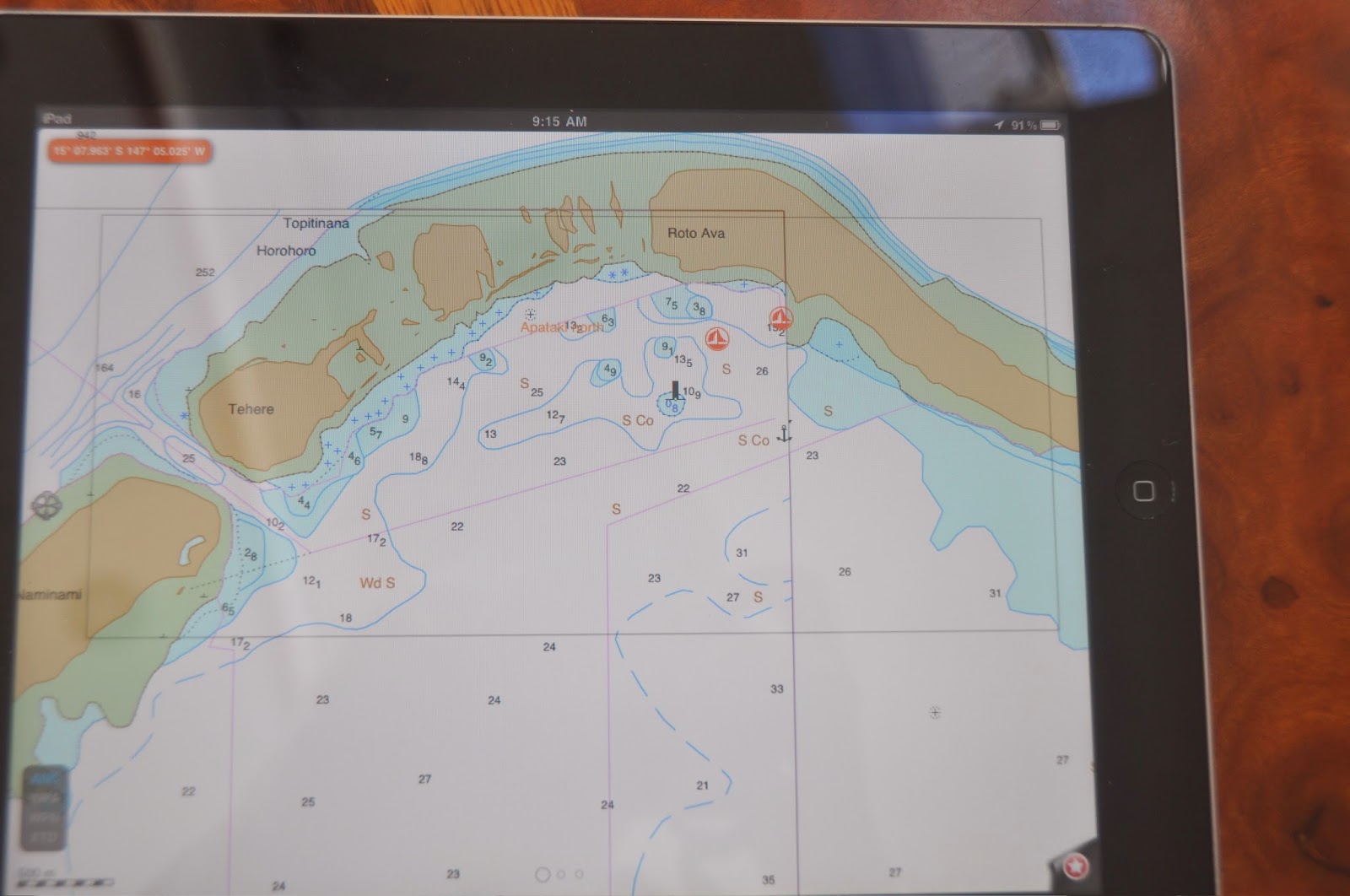
As usual, we used Charlie's Charts of Polynesia to determine our anchorage. The guide mentions a village at the Tehere Pass (AKA North Pass) but there is no village there, no Internet, no phone reception. As he's learned to do over the last few weeks in the Tuamotus, JP now uses his fish finder to scan the bottom before we drop anchor. In the current NW conditions, the Roto Ava motu presented the perfect shelter with its forest of coconut trees. So JP scanned and scanned and scanned the bottom, but the peaks and valleys on the screen suggested only one thing: a field of coral heads, not large, but a trap for our anchor. For the next hour, JP scanned the entire area, finally settling for a relatively sandy spot in 14 meters of water, between the Topitinana and Roto Ava motus, centering the boat between 3 large coral columns with plenty of swinging room (see WP above). Granted, there was no wind protection since only the reef, an interstitial lagoon and a sand belt stood between us and the ocean. But there was no fetch, no waves. With 60 meters of 12" chain and our 150lb Raya anchor well dug-in, we could easily withstand winds in the 60-knot range. All alone at the North end, all we had to do was to wait for the weather to improve while we dove, snorkeled, hunted, fished, and just enjoyed the stunning scenery. As for the fish, we had called the Carenage to enquire about the ciguatera situation on the atoll. To be sure, we only took small Marbled Groupers ("Loches Marbrees") and as usual stayed away from all Snappers, Triggerfish and Peacock Groupers.
Why are we having so much bad weather, you ask? March-April marks the end of the cyclonic season and the trade winds have not yet established themselves. This is a period marked with an alternance of lows and highs pushing over the Cooks and the Australes, leaving the Tuamotus in stationary troughs, or "Marais Barometriques" (barometric swamps) as they call them in French. The typical cycle is 5 days of good weather followed by 7-10 days of squally, shifty, cloudy and rainy weather.
Perhaps the most interesting phenomenon we observed during these days of heavy winds and rain was the re-designing of the sand belt at the north end of the atoll. The normal conditions gently push the waves and sand against the north-west end of the atoll, creating a 1-meter belt of sand all around the northern end. On the second day of heavy rains and NW winds in the 25-30 kt range with squalls at 40-45 kt we noticed how the fury of the ocean outside was sending a monster surf crashing over the reef, filling the interstitial lagoon and opening breaches in the sand belt. Soon, we could observe long fingers of aquamarine blue trailing into the lagoon, the only telltales of the ocean's fury.
NORTH PASS - We were soon joined by the catamaran "Spirit of Pontapreta," our friends Jean-Sebastien and Marina, on their way back from the Marquesas. They came into the lagoon via the Tehere Pass (AKA North Pass.) According to Jean-Sebastien, it was "hot." Good thing that he's a surfer, because they came in at daybreak, sailing only, no engine, surfing into the pass propelled by the twin barrels that fringe the pass. Marina held her breath... and the nasty reputation of the North pass survives: for adrenaline junkies only!
TEONEMAHINA - Northeast anchorage - S 15°20.54 - W 146°11.878
After 7 days of strong N-NW winds, the weather finally returned to the regular easterly conditions, which made our anchorage at Roto Ava q bit rolly. Time to move, and we decided to check out the NE end of the atoll. How nice to drop anchor in the sand without having to bother with coral heads. The long motu offers excellent protection from the NE-E conditions and the water is flat as a pond. The only downside is that there is nothing to snorkel, no fish, and the water is milky from all the sand. One night was enough. In the morning, with a mild 10 knot of wind at N-NE, we crossed the lagoon back to the south pass and made our way to Anse Amyot.
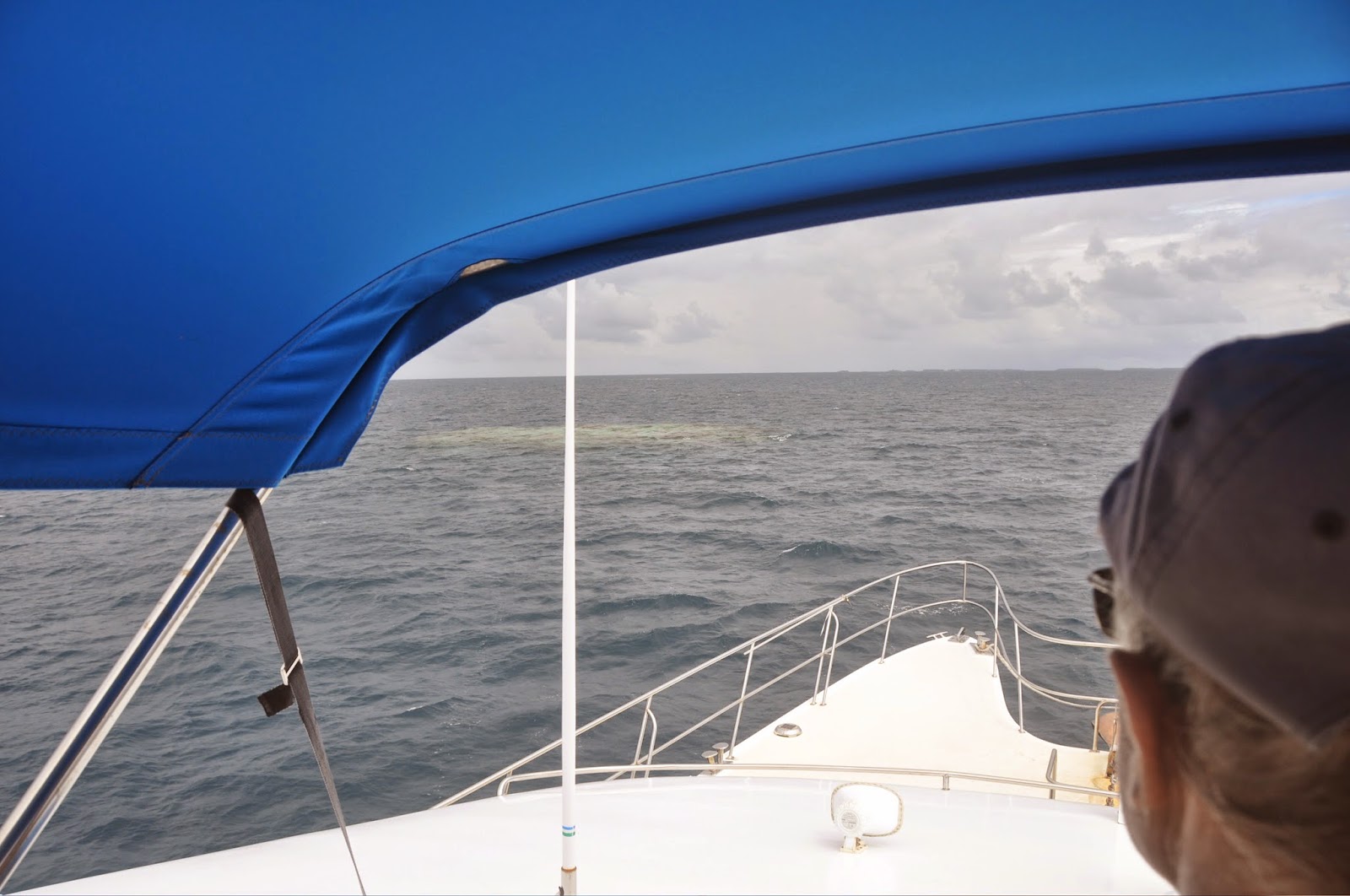
NAVIGATION in APATAKI- As noted above, the channel between the 2 passes is well marked and deep. Crossing the lagoon either W-E or N-S is sight navigation only! Coral heads are easily spotted in good conditions. As for the pearl farm buoys, they seem to be amassed in the center of the lagoon and there are a LOT of them. Be prepared to slalom!
We made it intact out of Apataki, taking the south pass in absolutely flat conditions, and headed for Anse Amyot and more discoveries. Until then...
dominomarie


